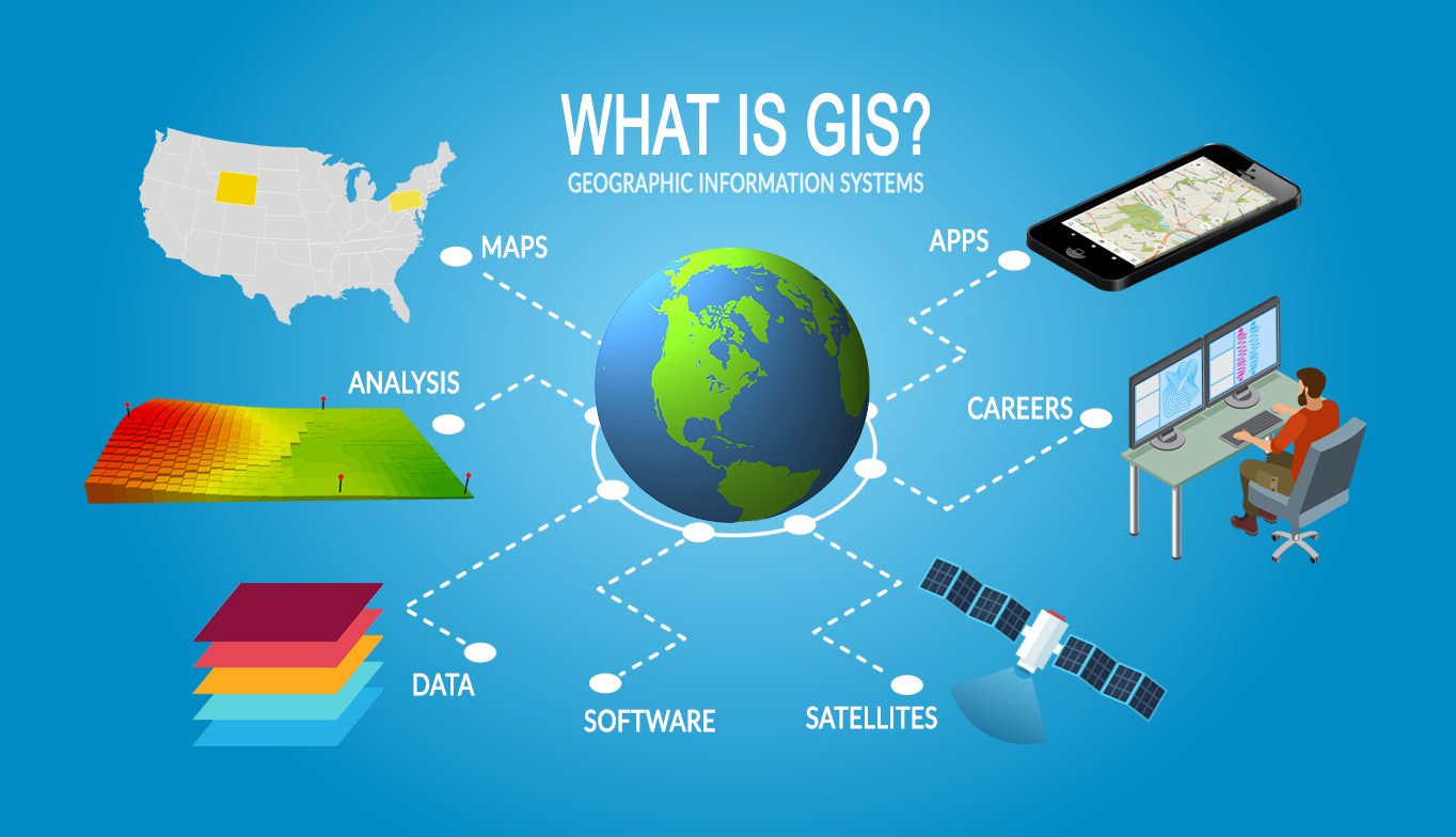
GIS is a computer system that allows users to map, model, query, and analyse large quantities of data within a database based on their location characteristics. GIS activity can be grouped into spatial and attribute data management, data display, data exploration, data analysis and GIS modelling. GIS can handle both spatial and attribute data, spatial data relate to the geometry of the features, while attribute data describes the characteristics of the different features stored in tabular form. An appealing feature of GIS is its ability to organize spatial and non-spatial data. Spatial data are used to represent models that possess physical dimensions as one of their major attributes.
We offer output for all types of survey works in GIS based map formats where the end user is offered the flexibility to dive into the making of the map and connected features, querying, modelling, analysis etc.